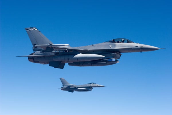
Lockheed Martin, Northrop Grumman land OTAs for US Army
December 5, 2023
The U.S. Army has awarded Lockheed Martin and Northrop Grumman other transaction agreements (OATs) for the first phase of the Launched Effects (LE) program.
Read More
The U.S. Army has awarded Lockheed Martin and Northrop Grumman other transaction agreements (OATs) for the first phase of the Launched Effects (LE) program.

Martin Faga sheds light on the early days of the GPS program, including the attempts to halt it in the early 1980s. He emphasizes the significance of being able to navigate easily and accurately and have precise time, not only for military operations but also for civilian life.

GPS World contributor, Gaylord Green, reflects on a time when civilian interest in GPS was low due to uncertain funding. Today, the benefits of GPS are widely known.
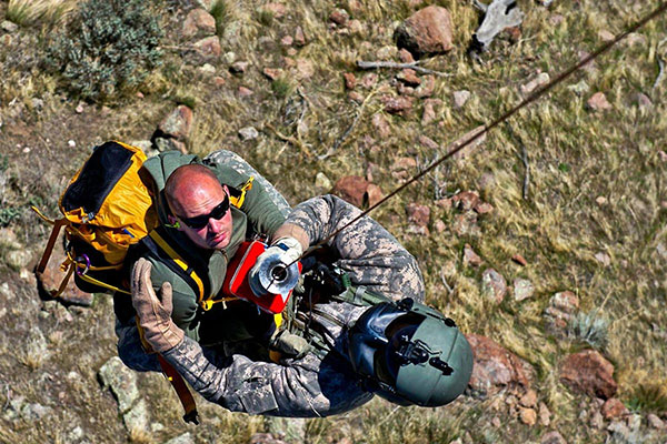
Inertial Labs has been awarded an SBIR Phase III contract by the Army Applications Laboratory of Army Futures Command. This award supports Inertial Labs development, design and fabrication of the CAPSS for potential use on the U.S. Army’s Paladin and ERCA vehicles.

TRX Systems has announced it is now shipping the Dismounted Assured Positioning, Navigation, and Timing (PNT) System Generation II (DAPS GEN II) solution to the United States Army.
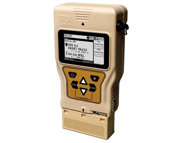
TRX Systems has been awarded a $402 million, seven-year contract by the U.S. Army for the procurement of DAPS GEN II.

CMC Electronics has entered a multi-year contract with Sikorsky, a Lockheed Martin company, to supply its CMA-2082MC military FMS for Sikorsky helicopters.
Latest Orolia Defense & Security personal rescue beacons deliver Cospas-Sarsat second-generation signaling Orolia Defense and Security is now shipping […]


Follow Us