


-
GNSS
NextNav petitions FCC for new spectrum band
April 23, 2024

NextNav has petitioned the Federal Communications Commission (FCC) to add a new spectrum solution in the Lower 900 MHz band (902-928 MHz band) to complement and backup GPS.
Read More
MerlinTPS has tested its Terrestrial Positioning System (TPS) at the Department of Defense (DOD) PNT Assessment Exercises (PNTAX), demonstrating resilience against electromagnetic radio frequency interference.
Read More
Topcon Positioning Systems has entered a strategic partnership with Bentley Systems and Worldsensing to integrate Topcon’s GNSS technology into the companies’ software and connectivity solutions.
Read More
Septentrio is closely working with several UAV solutions providers including 3DR, Holybro, ARK Electronics and Systork, resulting in various new products that allow for easier prototyping or integration of the Septentrio mosaic GNSS receiver into UAVs.
Read More
Hexagon | NovAtel has released its 7.09.01 and 7.09.02 firmware, designed to provide improved precise point positioning (PPP) accuracy and availability for ionospheric scintillation on all OEM7 receiver boards, enclosures and SMART Antennas.
Read More
Recapping the U.S. DOD Replicator project and budget approval, the U.S. Navy’s decision to acquire long-endurance, surveillance UAVs and an update on one Loyal Wingman candidate flight trials.
Read More
NGS Geospatial Modeling awardee, Oregon State University, created geodesy curriculums designed to help address the geodesy crisis.
Read MoreGPS World EIC, Matteo Luccio, discusses the Boreal UAV in an exclusive interview with Michael Gavart, CTO of M3 Systems.
An exclusive interview with Brandon Malatest, co-founder and COO of Per Vices What is your title and role? […]
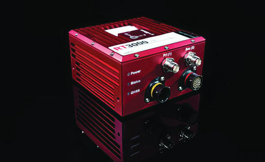
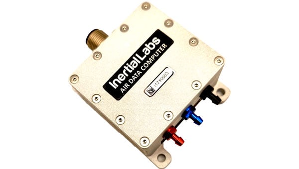
A roundup of recent products in the GNSS and inertial positioning industry from the March 2024 issue of GPS World magazine.
Read MoreA roundup of recent products in the GNSS and inertial positioning industry from the February 2024 issue of […]
Read MoreA roundup of recent products in the GNSS and inertial positioning industry from the January 2023 issue of GPS World magazine.
Read More


Follow Us