
CHCNAV: An autonomous boat surveys a bridge
April 15, 2024
Bridges are essential components of our transportation infrastructure, facilitating seamless travel and connecting communities. The construction and maintenance […]
Read More
Bridges are essential components of our transportation infrastructure, facilitating seamless travel and connecting communities. The construction and maintenance […]

Several technologies — ranging from very mature to nascent — are converging to make autonomous vehicles and devices more useful, efficient, and reliable than ever.
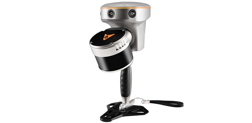
CHC Navigation (CHCNAV) has released the RS10 handheld SLAM lidar laser scanner integrated with a full real-time kinematics (RTK) GNSS receiver.
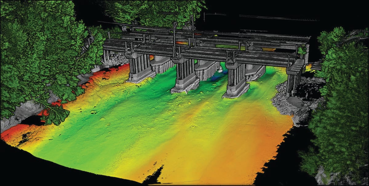
In this feature, SBG Systems, CHC Navigation (CHCNAV) and Advanced Navigation describe how they used modern hydrographic surveying to aid defense departments, produce 3D topographic maps and analyze depth.

A roundup of recent products in the GNSS and inertial positioning industry from the January 2023 issue of GPS World magazine.

CHC Navigation’s NX510 SE GNSS RTK auto-steering system helps growers around the world achieve the precision required for specialized planting operations.

In this cover story, we present three recent developments in precision agriculture: A joint venture between Trimble and AGCO; Seirrowon using hardware and services products from u-blox; CHC Navigation’s NX510 SE GNSS RTK auto-steering system.
A roundup of recent products in the GNSS and inertial positioning industry from the December 2023 issue of […]


Follow Us