Hexagon releases platform for defense mobile apps
February 13, 2023
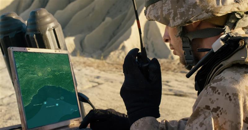
Hexagon’s Safety, Infrastructure & Geospatial division has released LuciadCPillar for Android defense applications. The platform is designed for the development of mobile applications for dismounted soldiers in the field.
Read More


Follow Us