
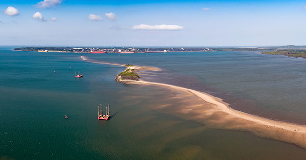
Seabed 2030 Project and NORBIT Oceans collaborate on global ocean mapping
May 25, 2023
The Nippon Foundation—General Bathymetric Chart of the Oceans (GEBCO) Seabed 2030 Project has partnered with NORBIT Oceans, a […]
Read More
The Nippon Foundation—General Bathymetric Chart of the Oceans (GEBCO) Seabed 2030 Project has partnered with NORBIT Oceans, a […]

AnimaMundi Ocean Data Solutions, DJI and Lagoon are using drones to build a comprehensive database of plastic waste on […]
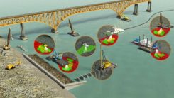
Fugro has completed a geotechnical site characterization project for DRA Global as part of the proposed expansion of […]
The Nippon Foundation-GEBCO Seabed 2030 Project and Kongsberg Maritime have entered a memorandum of understanding (MOU) in support of the global initiative to produce the complete map of the ocean floor.

The successful demo consolidates concept designs for a proposed land-sensing ESA Scout mission, HydroGNSS Surrey Satellite Technology Ltd. […]
Teledyne Marine has released the Z-Boat 1800-T unmanned survey vessel, equipped with Trimble’s high-precision GNSS heading receiver and […]

Raytheon will build the Geostationary Littoral Imaging and Monitoring Radiometer (GLIMR) sensor under a contract from the University […]
Coastal Zone Mapping and Imaging Lidar System (CZMIL) to be shared at conferences as a critical rapid environmental assessment […]


Follow Us