
CHC Navigation: The boat boost
April 10, 2023
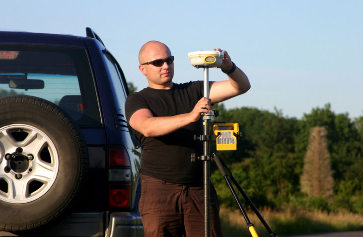
Numerous firms, large and small, have discovered how modest investments in USVs can completely revolutionize their hydrographic operations.
Read More
Numerous firms, large and small, have discovered how modest investments in USVs can completely revolutionize their hydrographic operations.
NV5 Geospatial has mapped more than 26 million acres of North America’s shoreline and riverine environments across more than 200 projects.

Two Walmart locations in Utah, one in Lindon and one in Herriman, are now providing UAV delivery for customers nearby.
Many have debated how the surveying profession has morphed into something less than what our predecessors would have […]

The United States Federal Aviation Administration (FAA) has awarded air carrier and operator certification to UPS Flight Forward, […]
Location content provider Nearmap has partnered with the city of Durham, North Carolina, to help it manage infrastructure […]
Newly captured aerial maps show before and after images to support cleanup efforts by public safety organizations, utility […]
Location content provider Nearmap has partnered with the City of Durham, North Carolina, Public Works Department to upgrade […]


Follow Us