Leica Geosystems unveils airborne lidar sensor
March 14, 2024
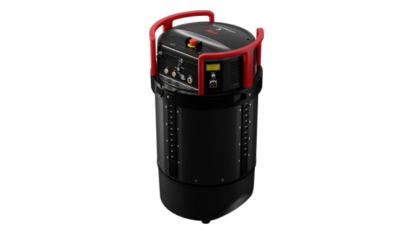
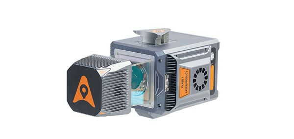
Leica Geosystems, part of Hexagon, has introduced the Leica TerrainMapper-3 airborne lidar sensor. It features new scan pattern reconfigurability to support a variety of applications and requirements in a single system.
Read More


Follow Us