Fugro delivers seabed geodata, employs wind lidar buoys
October 27, 2021
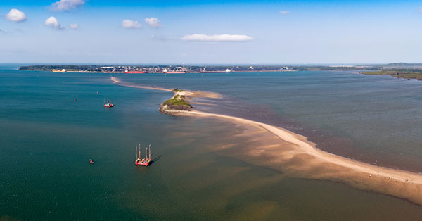
Fugro has completed a geotechnical site characterization project for DRA Global as part of the proposed expansion of […]
Read More
Fugro has completed a geotechnical site characterization project for DRA Global as part of the proposed expansion of […]
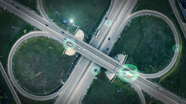
A new European project is researching automated collection of geodata and production of high-definition maps. The GAMMS project […]
Intergeo 2019, which is set to take place Sept. 17-19 in Stuttgart, Germany, will cover a number of […]
With the mid-term elections coming ever nearer, states are turning to geographic information systems (GIS) to help manage […]

Geodata is key to the digital future and a 4.0 business world, according to a new report released […]


Follow Us