Lifesaving GPS technology aids in natural disasters
August 29, 2022
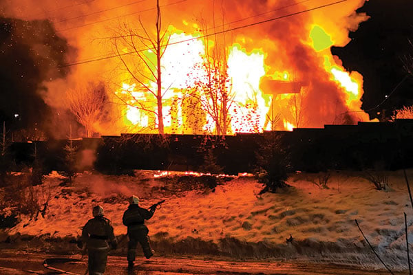
By Alex Damato, Acting Executive Director, GPS Innovation Alliance It can be easy to take GPS for granted […]
Read More
By Alex Damato, Acting Executive Director, GPS Innovation Alliance It can be easy to take GPS for granted […]

Aerial perspective and mobile operation management system combine to inform deployment, give increased situational awareness, and save critical […]

An Esri Storymap provides a quick snapshot of the raging fires across the United States and provides context […]

The International Association of Fire Chiefs, Intermedix and Esri have signed an agreement to build the National Mutual […]
Following successful test flights, Insitu’s ScanEagle helps combat Oregon wildfire. UAV company Insitu and Esri have successfully completed test flights on a […]

A team from Draper and the Massachusetts Institute of Technology (MIT) has developed advanced vision-aided navigation techniques for […]

Every year thousands of acres of forests are engulfed in fires. Recognizing the benefits of geospatial technology, the […]
Every year thousands of acres of forests are engulfed in fires. Recognizing the benefits of geospatial technology, the […]


Follow Us