SPH Engineering’s UgCS software now supports Velos UAV helicopter
February 25, 2021
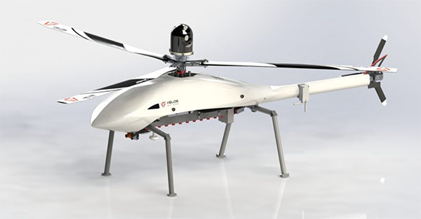
The Velos UAV helicopter has passed field tests to become the first single-rotor helicopter supported by UgCS software, […]
Read More
The Velos UAV helicopter has passed field tests to become the first single-rotor helicopter supported by UgCS software, […]

A new island near Tonga has officially been surveyed, courtesy of Goddard NASA scientist Dan Slayback. Most new […]

Virtual Surveyor drone surveying and mapping software has added new functionality that enables users to process larger projects […]


Follow Us