Next 10 years of EGNOS to focus on drones
March 30, 2021
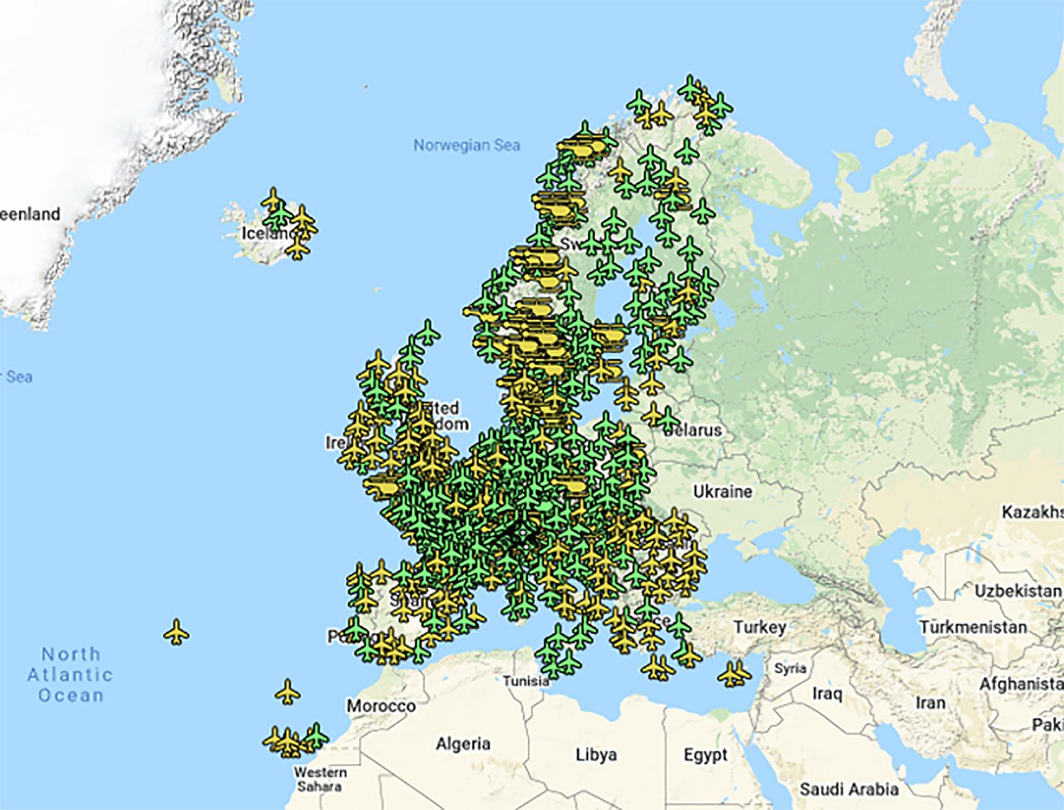
Europe’s EGNOS satnav system has been providing safety-of-life services for 10 years. EGNOS, the European Geostationary Navigation Overlay Service, […]
Read More
Europe’s EGNOS satnav system has been providing safety-of-life services for 10 years. EGNOS, the European Geostationary Navigation Overlay Service, […]

Raytheon Intelligence & Space, a Raytheon Technologies business, delivered its 3,000th MAGR 2000-S24 GPS system to the U.S. […]

Bluesky International will use aircraft-mounted lidar sensors and laser scanners to create a highly detailed 3D map of […]
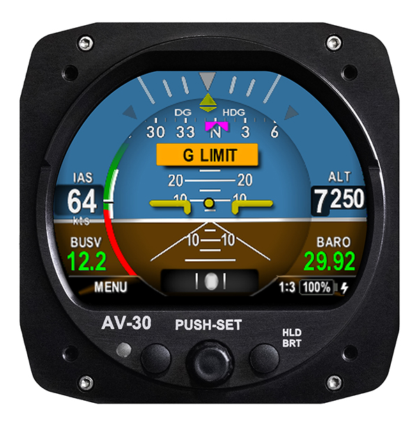
UAvionix Corporation’s aircraft AV-30-C panel display has received STC (Supplemental Type Certification) approval from the U.S. Federal Aviation […]

Phase One Industrial has launched a 280-megapixel aerial photogrammetric system, with an image coverage width of more than […]

Aireon and EUROCONTROL have signed a 10-year agreement to integrate space-based ADS-B data into their air traffic management […]

A U.S. Navy exercise in the southeastern United States will involve GPS interference testing that could make aircraft […]
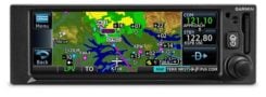
Garmin International Inc. has launched the GNC 355 — a GPS navigator with Localizer Performance with Vertical (LPV) […]


Follow Us