3D Services to offer underwater scanning

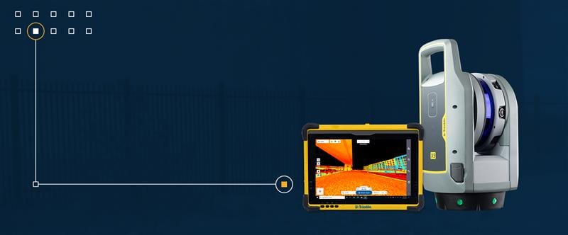
3D Services is expanding its services to offer underwater 3D laser scanning in addition to standard 3D laser scanning and aerial surveying.
This new service is designed for underwater inspections. Previously, sonar technology was the main solution for underwater inspections, modeling and measurements. However, sonar does not provide the level of detail necessary for many underwater projects, the Connecticut-based company said.
3D Services is able to provide high-resolution scans and accurate 3D models of underwater structures or topography. It can instantaneously and repeatedly capture accurate data points within less than 1 mm and with a resolution of .01 mm.
The high detail provides the data needed to avoid risks and serious liability-related costs, as well as provide higher quality, more accurate data than before.


Follow Us