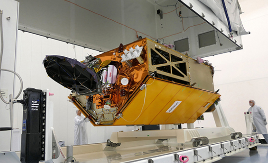
Sentinel-6 sea-level mission to use GNSS-RO for weather and climate monitoring
September 4, 2020
To get the best measurements of Earth’s atmosphere, you sometimes have to leave it. This November, the Sentinel-6 […]
Read More
To get the best measurements of Earth’s atmosphere, you sometimes have to leave it. This November, the Sentinel-6 […]

Esri has released an interactive map illustrating the earth’s natural and human systems and how they have changed — […]

When asked to do a small survey job overseas, we were concerned about shipping bulky and expensive survey equipment. Shipping costs are not trivial. Add to that the real possibility that your survey equipment may be confiscated by the local authorities, as ours was in Djibouti, and the cost of shipping equipment becomes a substantial part of the overall job. There should be alternatives, especially if accuracy requirements are not stringent.
The GPS Reflections Group of University of Colorado-Boulder has been awarded the prestigious Prince Sultan Bin Abdulaziz International Creativity Prize […]
New Tide Gauge Uses GNSS to Measure Sea-Level Change A new way of measuring and monitoring sea level […]
As the Gulf Coast begins another hurricane season, researchers with the Conrad Blucher Institute for Surveying and Science […]

A new way of measuring sea level using satellite navigation system signals, for instance GPS, has been implemented by scientists at Chalmers University of Technology in Sweden. Sea level and its variation can easily be monitored using existing coastal GPS stations.


Follow Us