
GeoCue adds to its UAV/lidar imagery systems
February 15, 2023
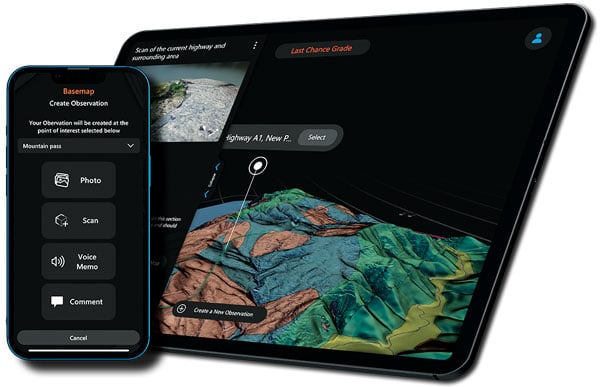
GeoCue has released the TrueView 535 imaging system for UAVs, TrueView 720, its fourth-generation Riegl integration and its LP360 software add-on.
Read More
GeoCue has released the TrueView 535 imaging system for UAVs, TrueView 720, its fourth-generation Riegl integration and its LP360 software add-on.

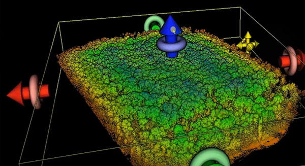
English Heritage site Minster Lovell Hall is located in Oxfordshire, also the home county of inertial navigation company OxTS. The picturesque ruins of Minster Lovell Hall, a 15th-century manor house, include the hall, a tower and a nearby dovecote.
A roundup of recent products in the GNSS and inertial positioning industry from the August 2022 issue of GPS World magazine.
OxTS Georeferencer 2.0 is now available, introducing several key improvements, particularly for professional lidar surveyors. Version 1, introduced […]

The tight integration of GNSS, inertial systems, lidar sensors and 360° spherical imagery into mobile mapping systems makes 3D modeling possible and traditional GNSS or optical measurement instruments obsolete.
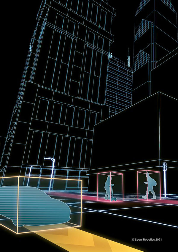
Seoul Robotics has launched Voyage, a plug-and-play lidar perception system. The all-in-one deployment kit is equipped with the […]

Oxford Technical Solutions (OxTS) has launched the latest version of its lidar georeferencing software, OxTS Georeferencer 1.4. OxTS […]

First commercial deployment to be installed on a major turnpike used by tens of millions of vehicles every […]


Follow Us