LidarSwiss deploys Cepton lidar, Applanix IMU/GNSS for high-fidelity mapping
October 31, 2022
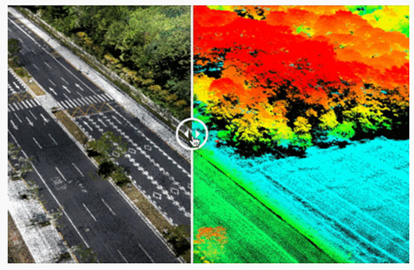
Cepton Inc. is working with LidarSwiss Solutions GmbH to deploy its lidar technology in a drone-based mapping and […]
Read More
Cepton Inc. is working with LidarSwiss Solutions GmbH to deploy its lidar technology in a drone-based mapping and […]
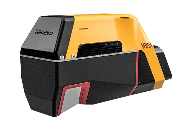
YellowScan has released a new long-range lidar scanner. Voyager is a powerful solution for both manned and unmanned […]
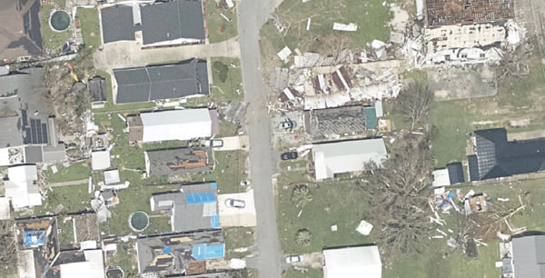
Applanix, a division of Trimble, has been working with the U.S. National Oceanographic and Atmospheric Administration (NOAA) since the early 2000s to develop its response for emergency and coastal mapping activities.

The newest True View 645/650 includes a Riegl mini VUX3-UAV laser scanner and dual mapping cameras.

Registration has opened for the Applanix User Group Meeting and Conference, focused on Air and Land solutions, taking place in Fremont, California, Sept. 20-22.
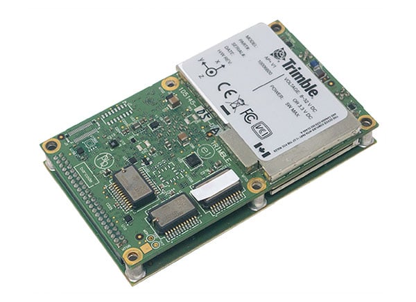
New hardware and software platform provides accuracy, position for land-vehicle system integrators Applanix, a Trimble Company, has announced […]
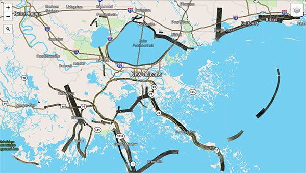
Applanix, a Trimble Company, and the National Oceanic and Atmospheric Administration (NOAA) have collaborated to provide critical information […]
Applanix, a Trimble Company, has introduced new term licenses with full maintenance and support for its desktop post-processing […]


Follow Us