eyesMap3D software provides high-quality 3D models
Technology company eCapture has launched a new software program, eyesMap3D, to generate accurate 3D models and point clouds, measured directly from images.
EyesMap3D allows users to create high-density points clouds with textures achieving a realistic 3D model appearance. In addition, eyesMap3D is able to measure accurately on the images, generate true orthophotos, and geo-reference and scale the results.
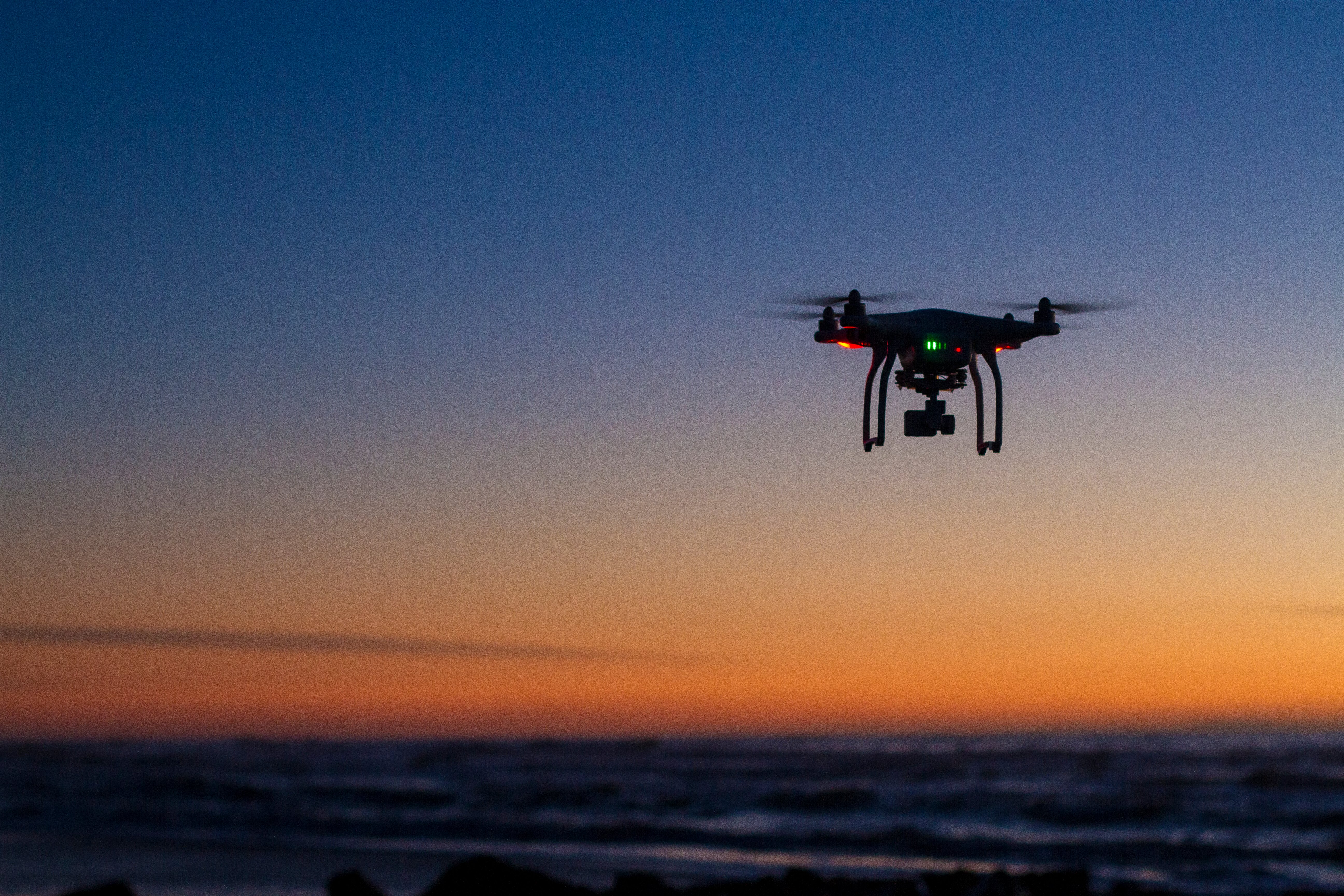
eyesMap3D users can use their cameras, mobile phone or camera drone to capture images. It is compatible with most popular software packages on the market.
The goal of the company is to allow the user to easily generate and work with 3D models and photogrammetric tools, while maintaining data quality.
In 2015, eCapture launched the eyesMap tablet for modeling 3D scenes indoors and outdoors. The EyesMap tablet is a versatile instrument for users who needs results directly while working in the field.
eyesMap3D software is offering three licenses: educational, public organizations and business. The software can be downloaded from the eCapture website.


Follow Us