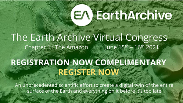
Earth Archive project aims to create digital twin of entire planet
The Earth Archive Initiative is an unprecedented scientific effort to create a digital twin of the entire surface of the Earth – and everything on it.
By scanning the planet’s land surface with very high-resolution lidar, the Earth Archive will create a true three-dimensional digital twin of our world — an open source, digital record of the Earth that will reflect the landscape exactly as it was at the time of scanning.
The geospatial data captured will serve as the baseline for understanding and exploring our world.
A virtual conference, billed as the “Chapter I : The Amazon,” takes place June 15-16, and will provide updates on the unique project from academics, non-government organizations, technology providers and the public. Registration is free.
The Amazon Basin is the first region chosen for scanning and the focus of the conference. “While our scope is the entire planet, we’ve tasked ourselves with first scanning areas that are not only most susceptible to change, but also deep in value for understanding our past,” a project spokesperson explained.
“The 2021 inaugural Earth Archive Congress is centered on our initial campaign to scan the entire Amazon Basin. The Amazon rainforest plays a monumental role in the Earth’s climate, has an incredibly rich Indigenous history, and boasts a remarkable level of ecological diversity — but is vanishing before our eyes.
“With the ability to digitally preserve landscapes at any moment in time, very high resolution lidar can enhance archaeological, anthropological, and conservation studies and provide needed information to help advance sustainable development, as well as provide us with more groundbreaking revelations of the Amazon’s astounding past.”
Registration at the Earth Archive Virtual Congress is complimentary.


Follow Us